Understanding Land Surveying in Arizona: A Comprehensive Guide
by Travis Thompson, September 12th 2025
Understanding Land Surveying in Arizona: A Comprehensive Guide
Quick Index (Jump to a Section)
- 1. What Is Land Surveying?
- 2. Why Surveying Matters in Arizona
- 3. Common Survey Types (AZ)
- 4. When You Need a Survey
- 5. Legal & Regulatory Basics (AZ)
- 6. Tools & Technology (Modern Surveying)
- 7. Surveys in Real-Estate Transactions
- 8. Challenges Unique to Arizona
- 9. How to Choose a Land Surveyor
- 10. Future Trends
- Key Takeaways
- References
What Is Land Surveying?
Land surveying is the science and practice of measuring and mapping land to determine boundaries, features, and elevations. Surveyors use records, monuments, and precise instruments to produce maps and legal descriptions relied upon by governments, lenders, and builders. In Arizona, professional standards are defined and enforced by the Arizona State Board of Technical Registration (BTR) under Arizona Revised Statutes (ARS).
Why Surveying Matters in Arizona
Arizona’s blend of urban growth, tribal and federal lands, and PLSS-based public lands requires accurate boundary work to prevent disputes, support design, and ensure zoning compliance. The Bureau of Land Management (BLM) maintains the Public Land Survey System (PLSS)—the foundational grid for Arizona’s legal land descriptions.
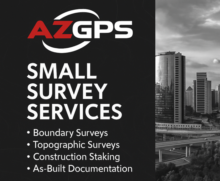
Common Survey Types (AZ)
Boundary Survey: Establishes exact property lines and corners using deeds, plats, and physical evidence. Essential for encroachments, fencing, or subdividing.
Topographic Survey: Maps terrain elevations and man-made features—vital for engineering and architectural design.
Construction (Staking/Layout) Survey: Transfers design points to the field and checks as-built conditions for compliance.
ALTA/NSPS Land Title Survey: Follows the ALTA/NSPS Minimum Standard Detail Requirements (2021) and is often required for commercial and lender transactions.
When You Need a Survey
- Buying, selling, or refinancing property
- Building near setbacks or property lines
- Lot line adjustments or easement creation
- Resolving boundary or encroachment disputes
- Preparing for civil or construction design
Legal & Regulatory Basics (AZ)
- Licensure & Practice: Only licensed professionals may perform surveys under BTR oversight.
- Statutory Authority: Defined in ARS Title 32 and Title 34.
- Federal Context: Surveys tied to federal lands follow the Federal Land Policy and Management Act (FLPMA) framework.
Tools & Technology (Modern Surveying)
- GNSS & Network RTK: Provides centimeter accuracy across large areas.
- Robotic Total Stations: For high-precision control and layout.
- LiDAR & Drone Mapping: Captures terrain and infrastructure rapidly.
- GIS & Survey Software: Turns raw data into maps and 3D models.

Surveys in Real-Estate Transactions
Residential: Verifies property lines, improvements, and setback compliance before construction or sale.
Commercial: ALTA/NSPS surveys document boundaries, easements, and improvements for lenders and title companies.

Challenges Unique to Arizona
- Varied Terrain: Deserts, mountains, and washes create logistical challenges.
- Complex Land Status: Private, tribal, state, and federal lands require careful record research.
- Rapid Growth: Tight deadlines and urban expansion demand accuracy and coordination.

How to Choose a Land Surveyor
- Verify licensure on the Arizona BTR website.
- Select a surveyor with experience in your specific project type.
- Confirm adherence to ALTA/NSPS or state standards as needed.
- Request clear deliverables (PDF, CAD, GIS formats).
- Establish communication milestones and schedule updates.

Future Trends
- Growing use of UAS + LiDAR for dense, high-speed mapping.
- Integration of GIS and asset databases for design and permitting.
- Digitization of PLSS and cadastral data for improved accessibility.
Key Takeaways
- Surveying ensures clear titles, safe design, and compliance.
- The PLSS and Arizona statutes guide boundary evidence and practice.
- ALTA/NSPS surveys remain the gold standard for commercial property.
- Always hire a licensed surveyor with proven expertise.
References
- Arizona State Board of Technical Registration (BTR)
- Arizona Revised Statutes Title 32
- Arizona Revised Statutes Title 34
- ALTA/NSPS Minimum Standard Detail Requirements (2021)
- ALTA News: Standards Effective 2021
- BLM Cadastral Survey Program
- Federal Land Policy and Management Act (FLPMA) of 1976