Boundary Survey vs ALTA/NSPS Land Title Survey: What’s the Difference?
If you’ve requested a survey quote in Arizona and been asked whether you need a “boundary survey” or an “ALTA/NSPS survey,” you’re not alone in finding the distinction confusing. Both surveys establish property boundaries — but they differ significantly in scope, detail, cost, and who typically requires them.
Here’s a straightforward breakdown to help you understand which type you need and why.
What Is a Boundary Survey?
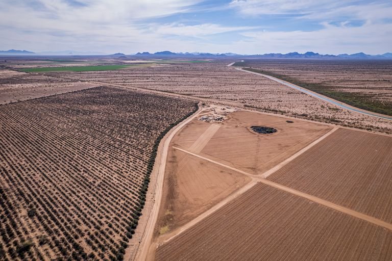
A boundary survey establishes or reconfirms the legal boundaries of a parcel of land. The surveyor locates existing monuments, researches recorded plats and deeds, and sets new corner monuments where needed. The result is typically a plat or map of survey showing the boundary lines, dimensions, and any visible encroachments.
Boundary surveys are used for a wide range of purposes in Arizona:
- Resolving property line disputes with neighbors
- Confirming lot dimensions before building a fence or structure
- Residential real estate due diligence
- Lot splits and minor land divisions
- Establishing legal descriptions for deeds
What Is an ALTA/NSPS Land Title Survey?
An ALTA/NSPS Land Title Survey is a much more comprehensive document. It incorporates the full boundary survey but adds a detailed inventory of improvements (buildings, parking lots, fences, utilities), all recorded and visible easements, rights-of-way, encroachments, and access points. It is produced to a national standard set jointly by the American Land Title Association (ALTA) and the National Society of Professional Surveyors (NSPS).
ALTA surveys are almost always required for commercial real estate transactions in Arizona. Lenders, title companies, and attorneys rely on them because they provide a single document that discloses virtually everything that could affect title or use of the property.
Key Differences at a Glance
| Boundary Survey | ALTA/NSPS Survey | |
|---|---|---|
| Establishes property corners | ✓ | ✓ |
| Shows improvements (buildings, fences) | Sometimes | Always |
| Shows easements and ROW | Visible only | Recorded + visible |
| Shows utilities | Rarely | Yes (Table A) |
| National standard required | No | Yes (ALTA/NSPS 2021) |
| Typical cost (Arizona) | $600 – $2,500+ | $2,500 – $8,000+ |
| Typical use | Residential, disputes, lot splits | Commercial transactions, lender requirements |
Which One Do You Need?
Choose a boundary survey if: You’re a homeowner confirming lot lines, building a fence, resolving a neighbor dispute, splitting a residential parcel, or buying a home and want independent confirmation of the boundaries.
Choose an ALTA/NSPS survey if: Your lender or title company requires it, you’re purchasing or financing a commercial property, or you’re involved in a transaction where a title insurance policy with survey coverage is being issued.
When in doubt, ask your title company or lender first — they will specify exactly which survey standard is required for your transaction. If there’s no lender involved and you simply need to know where your property corners are, a standard boundary survey is almost always the right choice.
AZGPS Performs Both Types Across Arizona
AZGPS provides both boundary surveys and ALTA/NSPS land title surveys across Maricopa, Pinal, Pima, and surrounding Arizona counties. All work is performed by Travis Thompson, RLS #48482 — a licensed Registered Land Surveyor with direct field involvement on every project.