How Much Does a Land Survey Cost in Arizona?
If you’ve ever called a land surveyor in Arizona and wondered why prices vary so widely, you’re not alone. A simple lot survey in a Phoenix subdivision can cost a few hundred dollars, while an ALTA/NSPS survey for a commercial property in Pinal County might run several thousand. Understanding what drives those differences will help you budget accurately and avoid surprises.
This guide breaks down typical land survey costs in Arizona by service type, explains the key factors that affect pricing, and answers the most common questions we hear from property owners across Maricopa, Pinal, and Pima counties.
Arizona Land Survey Cost by Service Type
The table below reflects typical price ranges for land surveying services in Arizona as of 2026. Actual quotes depend on property-specific factors covered in the next section.
| Survey Type | Typical Range | What’s Included |
|---|---|---|
| Boundary Survey | $600 – $2,500+ | Property corners set or found, legal description verified, plat or map of survey |
| ALTA/NSPS Land Title Survey | $2,500 – $8,000+ | Full boundary, improvements, easements, encroachments, Table A items per lender requirements |
| Topographic Survey | $1,000 – $5,000+ | Elevation data, contour lines, existing features mapped for design or permitting |
| Construction Staking | $800 – $4,000+ | Layout of building footprint, utilities, roads, or grading per approved plans |
| Minor Land Division / Lot Split | $1,500 – $5,000+ | New parcel boundaries, county submittal documents, legal descriptions for each parcel |
| Easement / Right-of-Way Survey | $900 – $3,500+ | Centerline or boundary of easement corridor, recordable legal description and exhibit |
Note: Ranges reflect standard residential and light commercial work in Arizona. Complex projects, large acreage, or rush timelines can push costs above these ranges.
What Affects the Cost of a Land Survey in Arizona?
1. Property Size and Shape
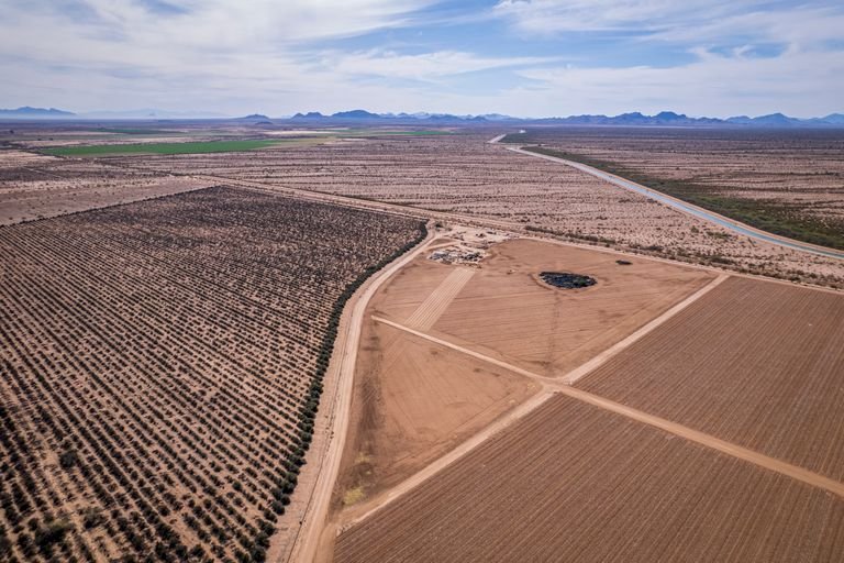
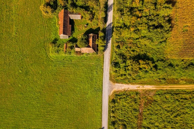
Larger properties require more field time, more equipment moves, and longer traverses to close the boundary. Irregularly shaped lots with many corners cost more than simple rectangular parcels. A 0.25-acre subdivision lot in Mesa is far quicker to survey than a 40-acre agricultural parcel in Pinal County with six sides and no visible monuments.
2. Existing Monuments and Records
When prior survey monuments are in place and county records are clean, a surveyor can confirm corners quickly. When monuments are missing, buried, or destroyed — common in rural areas and older Arizona subdivisions — the surveyor must retrace historical records, sometimes going back to original government survey notes from the 1800s. That research adds time and cost.
3. Terrain and Access
Arizona’s terrain ranges from flat desert valleys to rocky hillsides, washes, and flood plains. Steep or heavily vegetated terrain slows field crews down significantly. Properties near washes or in FEMA flood zones often require additional research and documentation, adding to the total cost.
4. County Recording Systems and Requirements
Pinal County, Maricopa County, and Pima County each have different recording requirements, submittal processes, and fee structures for recorded plats and legal descriptions. A minor land division in Pinal County follows a different approval path than one in Maricopa County. Surveyors familiar with local county processes can navigate these efficiently — those who aren’t may underquote and then revise.
5. Scope and Deliverables
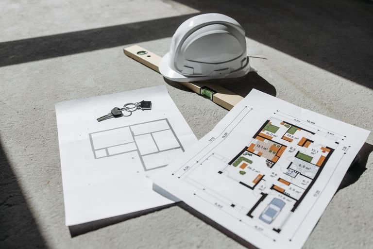
A boundary survey that results in a simple plat is less work than one that also requires a legal description, title coordination, and Table A items for an ALTA/NSPS survey. Be clear with your surveyor about exactly what you need — lenders, title companies, and architects often have specific deliverable requirements that affect scope and price.
How Long Does a Land Survey Take in Arizona?
Turnaround time varies by project type and current workload, but here are realistic timelines for most Arizona surveying projects:
- Simple residential boundary survey: 1 – 2 weeks from authorization to deliverable
- Topographic survey (standard lot): 1 – 3 weeks
- ALTA/NSPS survey: 2 – 4 weeks (title commitment and prior deeds needed upfront)
- Construction staking: 2 – 5 business days once plans are approved
- Minor land division / lot split: 4 – 10 weeks including county review time
Rush turnaround is often available for an additional fee. If you’re working against a closing date or construction start, communicate that deadline upfront so the surveyor can schedule accordingly.
Frequently Asked Questions About Survey Costs in Arizona
Why does a land survey cost so much?
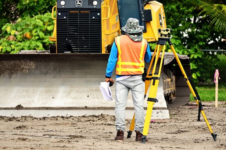
Land surveying requires a licensed professional (RLS in Arizona), specialized GPS and total station equipment, extensive record research, field time, and office drafting. The liability a surveyor carries for the accuracy of their work is significant — a wrong property corner can affect ownership, easements, and title for decades. The cost reflects that responsibility.
Who pays for the survey — buyer or seller?
In Arizona real estate transactions, either party can pay — it’s negotiable. For residential sales, buyers often order and pay for their own survey as part of due diligence. For commercial transactions with ALTA requirements, the cost is typically split or covered by the party requiring it (often the lender). For new construction, the developer or general contractor pays for staking.
Can I use an old survey instead of ordering a new one?
Sometimes. If a prior survey is recent, the monuments are still intact, and no changes have occurred to the property or adjacent parcels, an existing survey may satisfy your needs. However, title companies and lenders often require a survey dated within a certain window, and any changes to recorded easements or plats since the prior survey was done may not be reflected. Ask your surveyor to review the prior survey before assuming it’s still valid.
Does homeowners insurance cover the cost of a land survey?
Standard homeowners insurance does not cover land surveys. Some title insurance policies include survey coverage for boundary disputes, but the policy itself doesn’t pay for a new survey — it covers losses related to undisclosed boundary issues. If you’re in a dispute with a neighbor over a fence or property line, the cost of a survey to resolve it is typically out of pocket.
Is AZGPS licensed to survey in Arizona?
Yes. AZGPS is operated by Travis Thompson, a licensed Registered Land Surveyor (RLS #48482) in the state of Arizona. AZGPS LLC holds AZBTR Firm License #26605. We carry professional liability insurance and operate exclusively in Arizona. All survey deliverables are signed and sealed by a licensed RLS as required by Arizona law.
Get a Free Survey Quote in Arizona
Every project is different. The best way to get an accurate number for your specific property is to request a quote directly — it’s free, there’s no obligation, and you’ll hear back from Travis Thompson directly, not a scheduler or sales rep.
We serve property owners, developers, contractors, attorneys, and title companies across Pinal County, Maricopa County, Pima County, and surrounding areas including Florence, Mesa, Queen Creek, and Casa Grande.