Arizona Permit Survey Checklist: What Survey Do You Need?
Pulling a permit in Arizona often requires a survey — but not always the same type. The survey required for a new home build in Maricopa County differs from what a commercial developer needs in Pinal County, or what a homeowner needs to add an accessory dwelling unit. This checklist helps you figure out what you need before you call a surveyor or submit to the county.
Step 1 — Identify Your Project Type
Survey requirements vary by project type. Start here:
- New residential construction — typically requires foundation staking and often a plot plan showing the structure within the lot boundaries
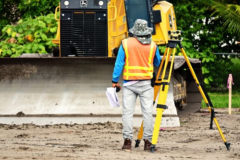
- New commercial construction — usually requires a topographic survey for grading/drainage design, construction staking, and often an ALTA/NSPS survey for the lender
- Addition or accessory structure — may require a plot plan or boundary confirmation to verify setback compliance
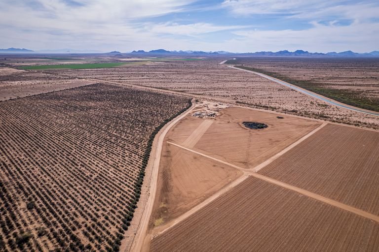
- Lot split or parcel division — requires a boundary survey, minor land division plat, and legal descriptions (see our Pinal County lot split guide)
- Fence or wall — many counties require a survey to confirm the fence is on your property and not over a setback or easement
- Grading or earthwork — typically requires a topographic survey to design drainage and calculate cut/fill volumes
Step 2 — Check County and Municipal Requirements
Survey requirements are set by the county or municipality issuing the permit — not the state. Requirements vary. Always confirm with your local jurisdiction before ordering a survey.
| Jurisdiction | Where to Check |
|---|---|
| Pinal County | Pinal County Development Services — (520) 866-6442 |
| Maricopa County | Maricopa County Planning & Development — permits.maricopa.gov |
| Pima County | Pima County Development Services — (520) 724-6770 |
| City of Florence | Florence Community Development — (520) 868-7515 |
| City of Casa Grande | Casa Grande Development Services — (520) 421-8600 |
| City of Mesa | Mesa Development Services — (480) 644-2352 |
Step 3 — Gather These Documents Before Calling a Surveyor
Having these ready will speed up the quoting process and avoid delays after you authorize the work:
- ✅ Assessor Parcel Number (APN) — found on your property tax statement or the county assessor website
- ✅ Legal description — from your deed or title policy
- ✅ Any prior surveys — even old ones help the surveyor understand what’s already been done
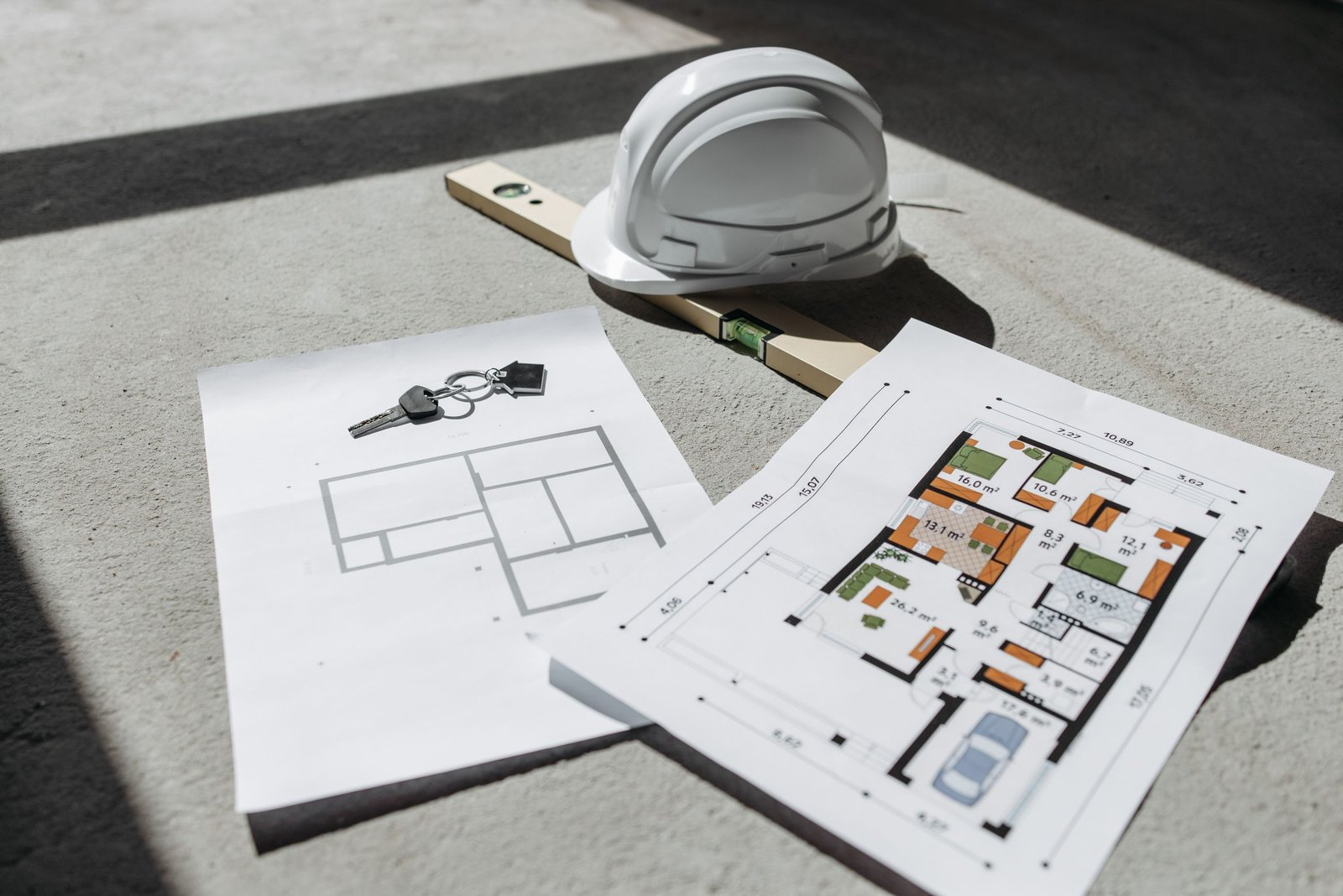
- ✅ Approved plans (for construction staking) — signed and stamped by a licensed engineer or architect
- ✅ Permit application number (if already submitted) — helps coordinate with the county if the surveyor needs to communicate directly
- ✅ Closing or construction start deadline — so the surveyor can schedule accordingly
Step 4 — Know Which Survey Type You Need
Use this quick reference:
- Confirming property lines / setbacks: Boundary Survey
- Commercial transaction / lender requirement: ALTA/NSPS Land Title Survey
- Design grading, drainage, or site plan: Topographic Survey
- Building footprint, utilities, or roadwork layout: Construction Staking
- Splitting a parcel into 2–6 lots: Minor Land Division Survey
- Documenting an access or utility corridor: Easement & Right-of-Way Survey
Step 5 — Get a Quote Early
Survey scheduling books out. Waiting until the week before a permit submittal or a construction start date is the most common mistake we see. Reach out as soon as you know a survey will be needed — even if plans aren’t finalized yet. A quick phone call or quote request can confirm the type of survey needed, give you a realistic cost and timeline, and get you on the schedule before crunch time.
AZGPS serves property owners, contractors, developers, and attorneys across Pinal County, Maricopa County, Pima County, Mesa, Queen Creek, Florence, and Casa Grande.